Our Mission: Provide Information And Resources To Help People Get Outdoors


Latest Articles
-
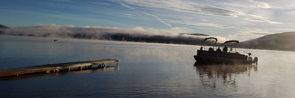
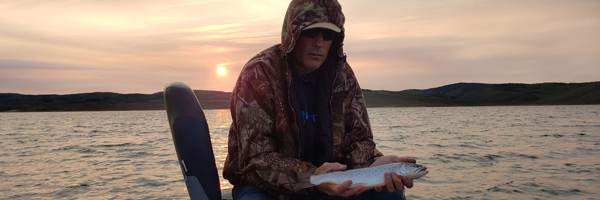
Deer Creek Reservoir For Spring Rainbows (2024)
Dave Webb April 20, 2024 Our spring weather has been incredibly nice, warm, sunny, mild… It was nice enough that I decided to take the boat out for the first time this year. I chose Deer Creek Reservoir and had a great time, with excellent fishing. After sitting all winter, boats can need tune-ups and... -
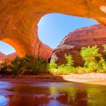
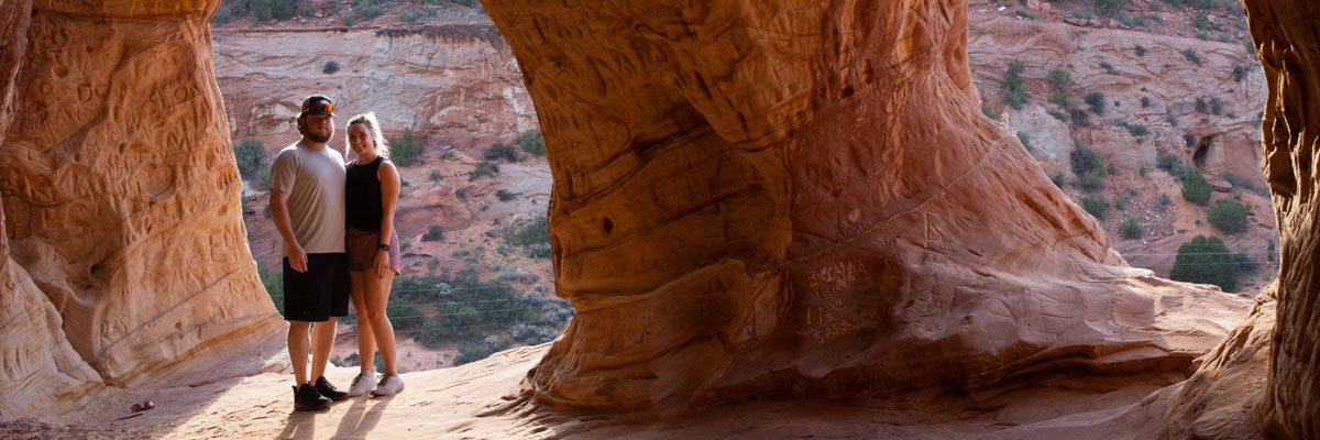
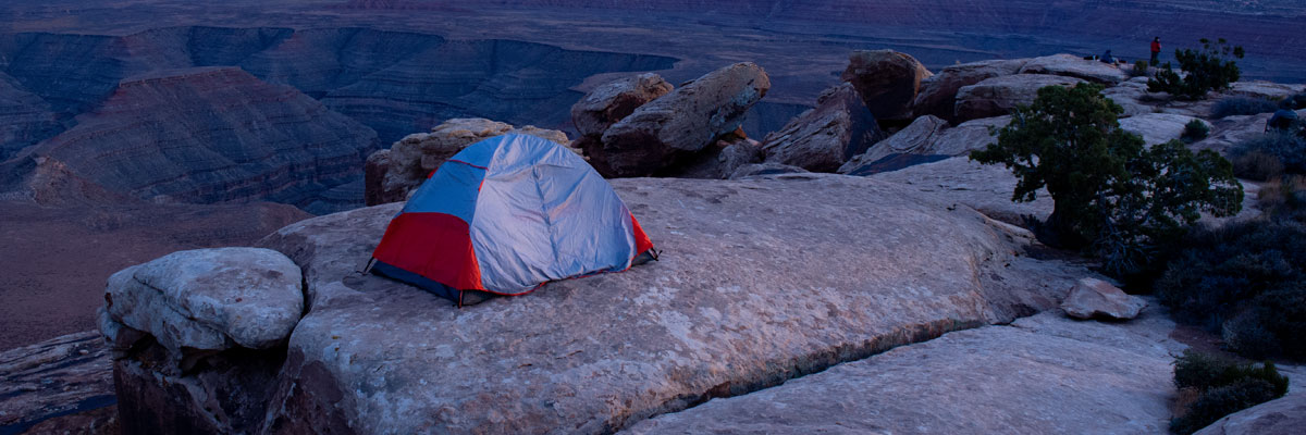
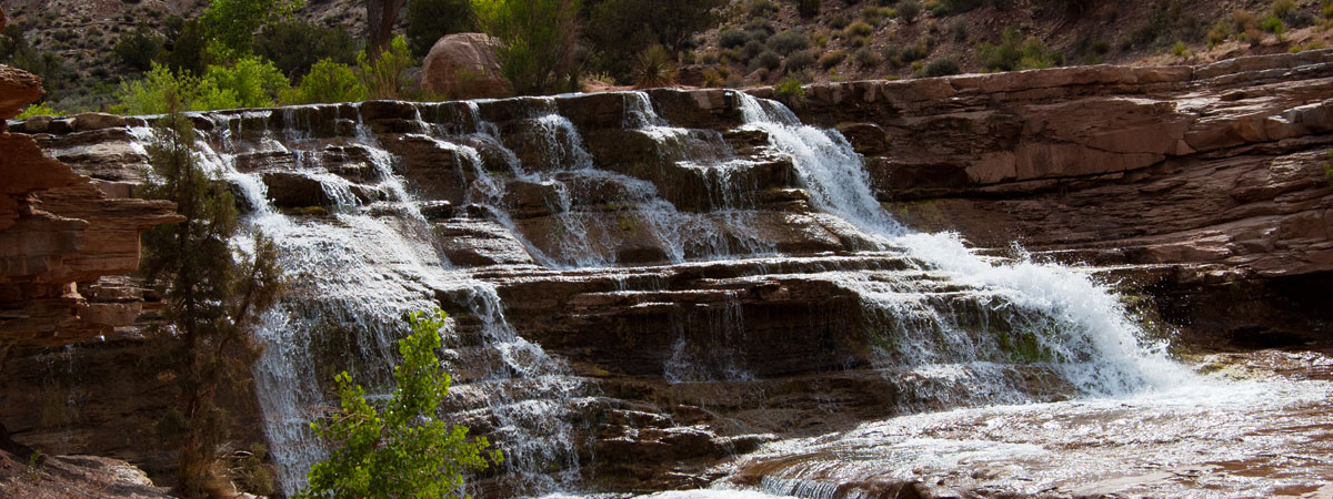
Coyote Gulch Hiking/Backpacking Guide 2024
Jacob Hamblin Arch in Coyote Gulch By Dave WebbApril 3, 2024 Coyote Gulch is a scenic canyon in southern Utah (Grand Staircase-Escalante) that has become very popular with hikers, backpackers, and photographers. It offers great opportunities for day hikes and is even better as a one or two-night... -
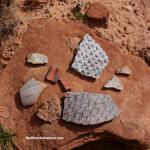
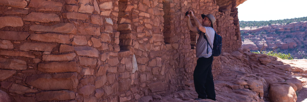
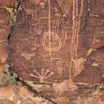
Comb Ridge Ancient Structures And Rock Art
Dave Webb March 15, 2024 We planned to hike into four Ancestral Puebloan (Anasazi) sites in the Bears Ears Comb Ridge area but had so much fun we never made it past the first two. They were amazing, with impressive ancient structures, rock art, flint chips, pottery sherds, and other artifacts. Comb... -
Snow Canyon's East Side Rock Art
Dave Webb February, 2024 (See more Snow Canyon rock art images.) There are beautiful ancient rock art images in Snow Canyon but park officials don’t promote them out of fear they will be “loved to death.” Rock art enthusiasts can easily find them with a little effort. My favorite images are on the... -
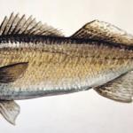
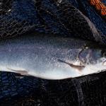
Early Season Utah Walleye Fishing
Dave WebbFeb 19, 2024 Temperatures have been warmer than normal this winter and walleye fishing is already heating up at Utah Lake and Willard Bay. Action will pick up soon at Deer Creek, Starvation, and other waters. Normally, Utah Lake and Willard lose their ice cover at about the end of... -
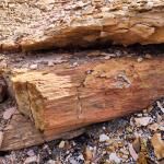
Petrified Logs Just Past The Middle Of Nowhere
Normally I put where to/how to info on this website. This post is different. It is meant to inspire and show there are still wonders to be found wandering off the beaten path. Dave Webb Feb 16, 2024 There is a concentration of petrified logs in a rugged wash in SW Utah. Some are quite large and in... -
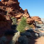
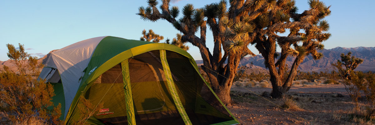
Gold Butte National Monument – Offroad, Hike, Camp
Dave WebbFeb 18, 2024 I took a quick scouting trip into Gold Butte, looking for a place to take the family camping in early spring. I enjoyed the area and will definitely bring the kids. I could easily spend two weeks exploring here but it will also be fun to spend three days, two nights camping,... -

Hardware Ranch Elk Viewing 2024
By Dave Webb A large herd of elk spends the winter at Hardware Ranch, where they are easy to see and photograph. We visited on Jan 27 and saw a couple hundred elk in the meadow, including some large bulls. Conditions were pleasant with mostly cloudy skies and mild temperatures. My...
Find Us On Facebook
We post updates and aggregate interesting news on our Facebook page.